
The City of Hobart has opened consultation on a local area mobility plan for Mt Nelson.
The mobility plan follows the release of a neighbourhood plan discussion paper for Sandy Bay and Mt Nelson 18 months ago.
The discussion paper also covered mobility and suggested four paths for Mt Nelson for transport and recreational walking and riding:
- A micromobility path along the top of Nelson Road but not on the bends section of the road.
- A major gravel path that would cut through bushland, potentially along existing fire trails starting at Lamberts Gully and Churchill Avenue and ending at the Signal Station.
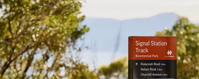
- A secondary gravel path that follows the route of the current footpath that starts at the bottom of Mt Nelson Road and ends just before the primary school at the top.
- A secondary gravel path that also starts at Lamberts Gully and Churchill Avenue and follows the Lambert Rivulet track up to join Nelson Road.
Other opportunities to potentially improve active transport links include:
- dropping the speed limit on the Mount Nelson Road bends section so people riding and walking are at less risk of being hit by car drivers.
- buses allowing bicycles on board so that people could ride down the mountain but catch a bus home.
- converting the current footpath to a longer, lower-gradient shared use switchback path that could be ridden, not unlike the road gradient – would require using University of Tasmania land.
An interactive map has been posted to the Your Say Hobart webpage for people to raise suggestions at particular sites. So far, there is overwhelming demand for more footpaths on Mount Nelson Road along its length.
Registrations are also open for an in-person workshop on Tuesday 23 September, 5:30–7:30 pm, at the Sustainable Living Learning Centre, 50 Olinda Grove, Mount Nelson.
Or become our friend and subscribe to receive our fortnightly newsletter.