
Our newest self-guided Ambassador ride through Freycinet National Park is short, straightforward, and spectacular.
The park has been beset by traffic problems for many years, so the Parks Service built a shared trail from the Coles Bay township to the car park, which services the walk to the popular Wineglass Bay lookout.
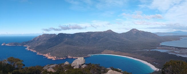
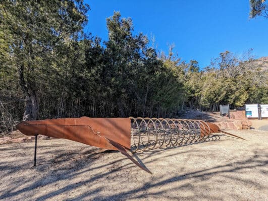
Instead of crossing your fingers you’ll get a park, you can now just ride up the trail and lock your bike to the whale ribs to head off on the lookout walk, down to Wineglass Bay or the steep climb up Mt Amos.
The 4km long trail starts at the visitor information centre on Freycinet Drive at the entrance to the park.
There are no paths through the town, but the streets are generally slow moving, especially when full of holiday makers.
The new shared trail starts at the end of Esplanade East and there are some impressive duck boards over coastal and wetland sections, when become a well-compacted gravel trail.
Bikes with wide tyres, such as mountain or hybrid bikes are the best option on the gravel surface.
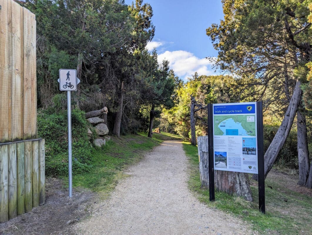
The shared path is not wide, so riders should be prepared to be held up by people walking at busy times.
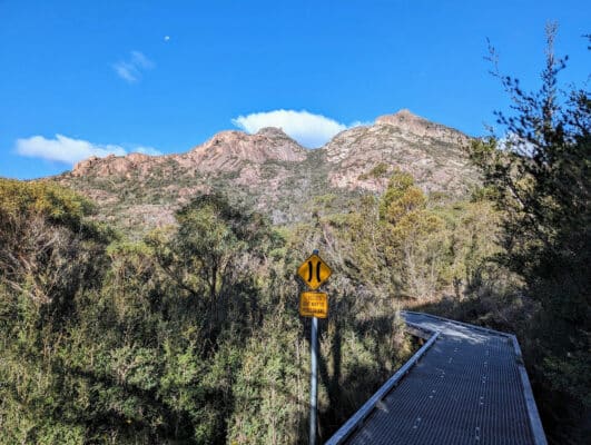
The path generally follows the contour line parallel to the road, but there are some deviations around areas, which are protected due to Aboriginal artefacts or sensitive natural values.
Gradients are low in keeping with shared path standards and the entire route is an enjoyable rolling surface.
There are a couple of road crossings, so beware if children are joining your riding adventure.
Bicycle Network’s Ambassador Routes are self-guided rides that allow you choose your journey and download a map and cue sheet.
The webpage has photos of what you can expect along the ride, and some of the sites along the way.
The maps show distance and elevation changes along each route to help you decide on one that suits your abilities.
There are rides covering most areas of Tasmania, from short, easy trails to longer weekend rides using roads. The rides have been collated by Bicycle Network's volunteer social ride leaders, who also guide free social rides on some of the routes during the year.