
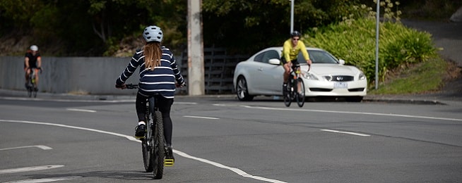
The City of Hobart has released a discussion paper to prepare a new Sandy Bay and Mount Nelson neighbourhood plan, and proposes a separated cycleway along Sandy Bay Road.
The paper begins with a statement of commitment to addressing climate change in Hobart to help people “move toward zero emissions as quickly as possible by choosing to ride or walk, using public transport or buying an electric vehicle”.
It also sets out a guiding principle for transport planning:
“Improvement is required to give residents and visitors greater choice in how they travel around and to the study area, thus reducing reliance on private vehicles. This will include multi-modal transport routes, improvements to the bus service, travel by pedestrians, cyclists and other micro-mobility modes such as e-bikes, scooters and e-scooters.”
This principle informs Direction 4 in the paper, which is to “provide accessible and pedestrian-friendly, sustainable transport options”.
The main proposal is for a separated cycleway to run the length of Sandy Bay Road for use by bicycles and electric scooters and other devices.
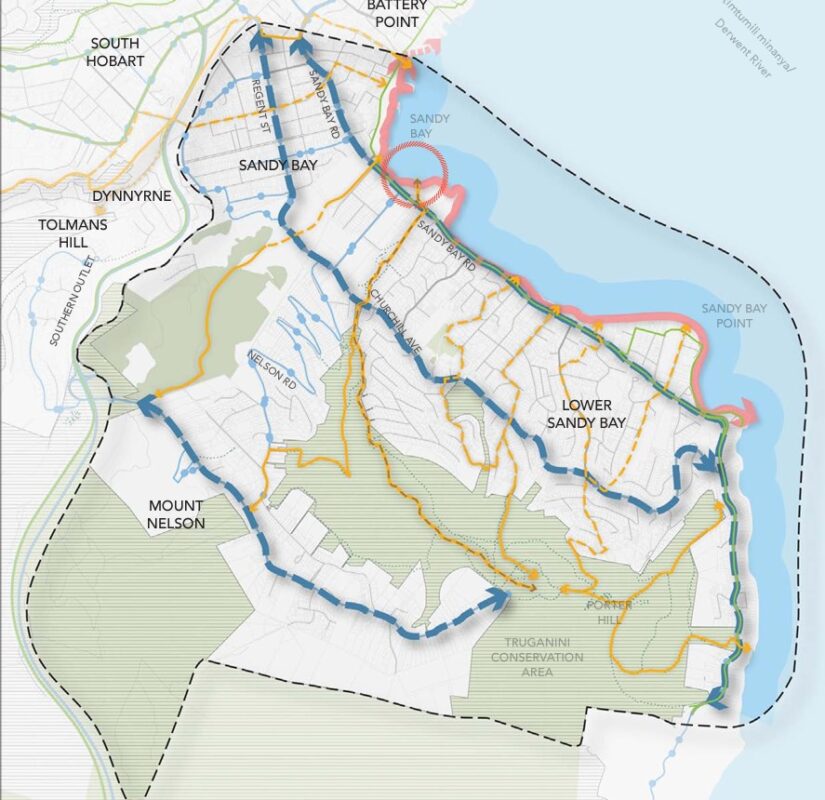
The paper also recommends further investigation into a secondary cycling route along Grosvenor and Regent streets or Churchill Avenue, and a better connection across the top of Mount Nelson.
The paper suggests that more advocacy from the council is needed to allow bikes and scooters on board public transport and calls for more end-of-trip facilities for riders.
Battery Point Walkway
Despite a council commitment on 17 July that consideration of the Battery Point Walkway would be included in the Sandy Bay and Mount Nelson plan, the only mention of the walkway in the discussion paper is a reference to its connection to any Sandy Bay path. The paper also recommends investigation of the feasibility of, and funding opportunities for, a coastal trail to connect Battery Point to Sandy Bay Point.
At the same meeting, the council agreed a report on the walkway's feasibility would be presented to council in December, before the draft plan is due to be released in 2024.
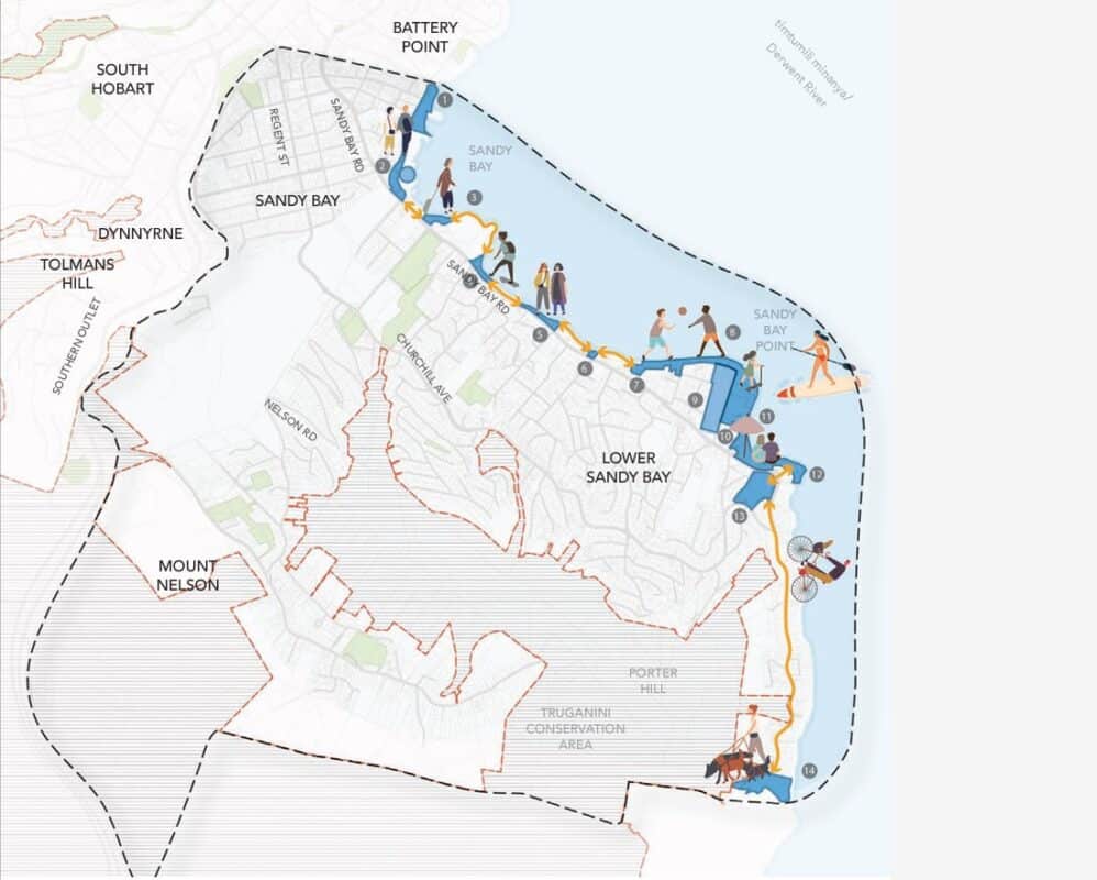
Cycling also gets a mention in Direction 3, which outlines provision of outdoor recreation and places for people to connect, as a means of enhancing wellbeing in the community.
The paper proposes to “establish clear and dedicated connections for pedestrian and micro-mobility devices that provide safe, convenient and accessible access to and along the waterfront”. It includes a map showing a route along the river from the Searchlight up to Short Beach.
A ferry terminal is proposed for Wrest Point or nearby, as is a path linking Mt Nelson Signal Station to Wrest Point.
The paper acknowledges the potential for redevelopment of the university’s Sandy Bay campus to improve transport links in the area, including a path linking Nelson Road to the beach.
It also recommends investigation of recreational opportunities in the area, including the potential to better connect existing trail networks where this does not damage the environment.
Comments on the paper are being accepted before 1 January 2024 and a community workshop is being held on Tuesday 28 November, 5.30pm–7pm, at the Sandy Bay Bowls Club.
To make comment or register for the workshop, visit https://yoursay.hobartcity.com.au/mount-nelson-sandy-bay-neighbourhood-plan