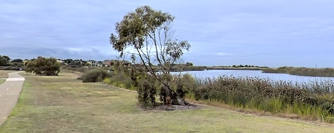
Many of our best bike journeys are along coastlines, or up and down the creeks and rivers that meet the sea.
These are generally traffic-free routes, scenic, calm and refreshing.
But with rising sea levels some of this vital infrastructure is at threat of inundation, erosion and from changes in groundwater chemistry.
Melbourne’s Port Phillip Bay features some of the best coastal riding routes you can find and it would be a tragedy if they were to succumb to the inexorable march – upwards and inwards – of the sea.
Along the west of the Bay, moves are afloat to tackle these threats and prolong our enjoyment of the unique environment.
Adapt West is an initiative to manage the emerging coastal hazards and build resilience into the Port Phillip Bay western shoreline.
And the project needs your input and participation. https://engage.vic.gov.au/adapt-west
First the project wants to understand how people use the region from Williamstown to Limeburners Bay, and what they value about it. Then this information will be incorporated into further stages of adaptation planning.
Complete the mapping exercise and 5-minute survey to provide the project with your perspectives on:
- how you use the wetlands, beaches, foreshore areas, estuaries, inlets and coastal creeks of the Port Phillip Bay western shoreline;
- what is special and important about these areas;
- your experiences of coastal hazards (erosion, inundation, groundwater changes);
- your memories and knowledge of how the coast has changed over time.
Community events are also planned.
Submissions close at the end of August.
Or become our friend and subscribe to receive our fortnightly newsletter.


