
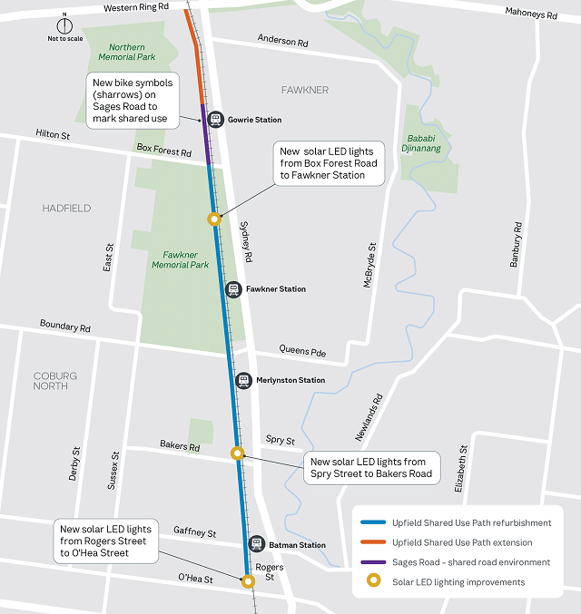
Works to connect the Upfield Trail between Sages Road and the Western Ring Road will begin in September and be completed by late 2025.
The new section of the shared use path will be built on land near the Upfield railway line and won't impact bike riders and walkers on the existing Upfield Trail or M80 shared-use path.
This project is one of the most important projects underway in Melbourne, completing a key strategic cycling corridor to the M80. In the long term this route will extend to Somerton Road in Coolaroo.
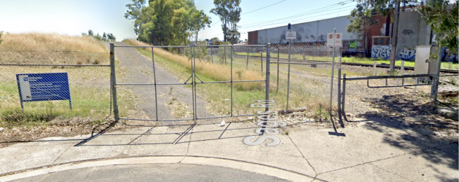
Temporary fencing has been installed to create a safe work zone. Crews will be working between 7am and 4.30pm, Monday to Friday.
The extended Upfield Trail will connect to the M80 shared-use path approximately 50 metres west of the Upfield railway bridge over the Western Ring Road.
In the coming months, the Department of Transport and Planning will also complete lighting upgrades along the Upfield Trail from Fawkner Station to Box Forest Road and install sharrows on Sages Road.
Other recent upgrades to the trail include the installation of solar-powered LED bollards between Spry Street and Bakers Road, and Rogers Street and O'Hea Street, lighting upgrades between Boundary Road and Shorts Road, and a new 40km/h speed limit on Sages Road delivered as part of Merri-bek City Council's 'Safer speed rollout on local roads' project.
The Upfield Trail is used by 2,500 riders and pedestrians each day, making it one of the most popular biking and walking paths in Melbourne.
The upcoming upgrades will improve connections between Melbourne's north and key active transport routes such as the Merri Creek Trail, Moonee Ponds Creek Trail and the Capital City Trail.
This extension was first announced in 2018 but has faced extensive delays related to access to the railway corridor.
Or become our friend and subscribe to receive our fortnightly newsletter.